The basics of wilderness survival
Wilderness survival is the ability to sustain oneself in the wild, away fro...
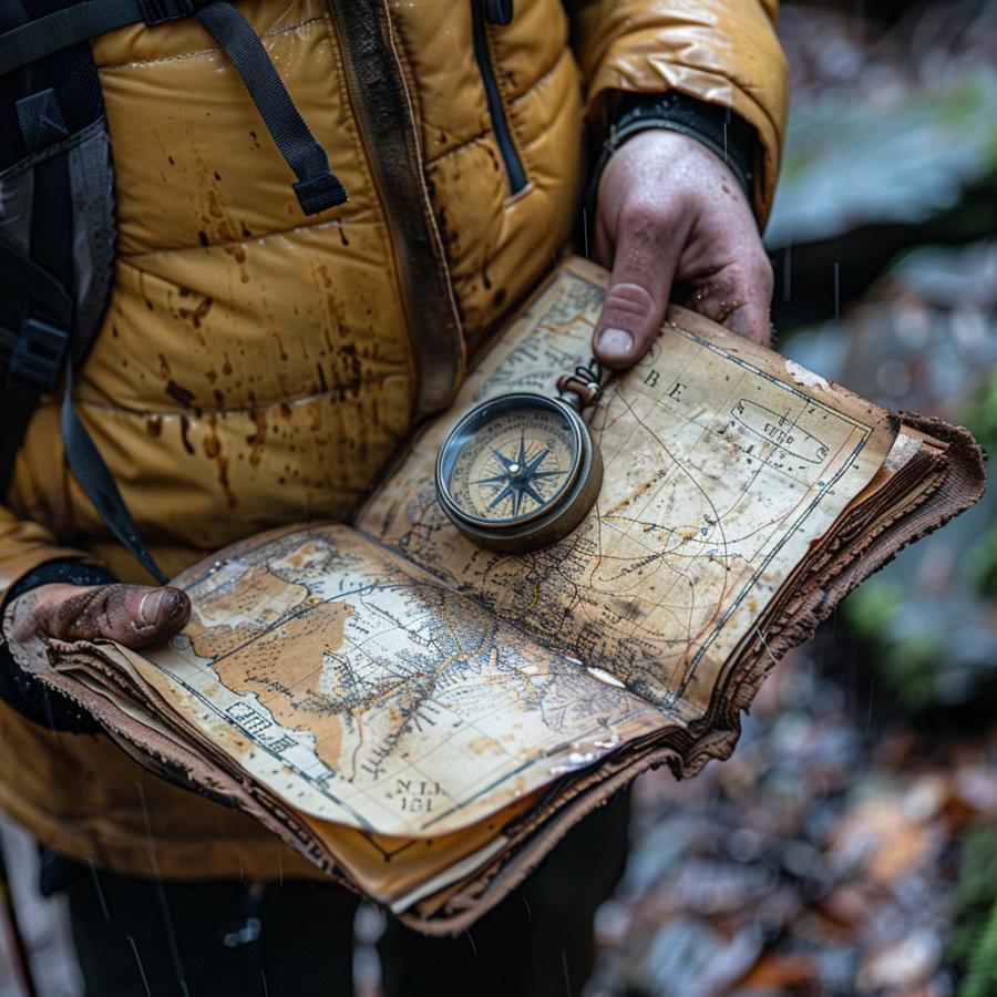
Navigating using a map and compass is a vital skill for any outdoor enthusiast. Whether you’re hiking in the mountains, exploring the wilderness, or simply trying to find your way around an unfamiliar area, having a good understanding of how to use a map and compass can help you stay safe and on track. In this blog post, we’ll take a closer look at the basics of map and compass navigation, and provide some tips and tricks for getting the most out of these tools.

Before diving into the specifics of map and compass navigation, it’s important to understand the basics of what these tools are and how they work. A map is a visual representation of an area, typically drawn to scale, that shows the layout of roads, trails, rivers, and other features. Maps come in a variety of scales, with some showing large areas and others providing detailed information about a small area. Compasses, on the other hand, are tools that help you determine direction. They typically consist of a magnetized needle that points north, and a rotating bezel or “compass ring” that helps you measure degrees of direction.
When navigating using a map and compass, the first step is to orient the map to match the terrain in front of you. This involves aligning the map so that the north on the map is pointing in the same direction as true north (the direction of the Earth’s magnetic north pole). To do this, you can use the compass to determine the direction of true north, and then rotate the map until the north on the map lines up with the compass. Once the map is oriented, you can use it to identify landmarks, trails, and other features that will help you navigate through the area.
Once the map is oriented, you can use the compass to determine your direction of travel. This is done by pointing the compass at the destination on the map, and then rotating the bezel or compass ring until the north arrow on the compass is lined up with the north on the map. The direction of travel is then indicated by the index line or “pointer” on the compass.
As you navigate using a map and compass, it’s important to keep track of your progress and make sure you’re on track. One way to do this is by using a technique called “triangulation.” This involves identifying two or more landmarks on the map, and then determining your position by measuring the angles between them. For example, if you see a mountain and a river, you can use the compass to measure the angle between them, and then use this information to determine your position on the map.
Another important skill when navigating with a map and compass is knowing how to read contour lines. These are lines on the map that show changes in elevation. By understanding how to read contour lines, you can get a sense of the terrain ahead, and make more informed decisions about your route. For example, if you see a contour line that is close together, you can expect a steep incline, whereas if the lines are far apart, you can expect a more gradual climb.
In addition to reading contour lines, it’s also important to understand how to use a topographic map. These maps provide a more detailed view of the terrain, and can help you identify specific features such as rocky outcroppings, streams, and other landmarks. To use a topographic map, you should first orient the map to match the terrain in front of you. Once the map is oriented, you can use it to identify specific features and plan your route accordingly.
When navigating using a map and compass, it’s also important to be aware of potential hazards and challenges that may arise. One of the most common hazards is getting lost, which can happen if you lose track of your location or if you take a wrong turn. To avoid getting lost, it’s important to always keep your map and compass with you, and to use them regularly to check your progress and make sure you’re on track.
Another potential hazard is getting lost in bad weather. To avoid this, it’s important to check the weather forecast before heading out, and to be prepared for changes in weather. This includes carrying appropriate clothing and gear, and knowing how to use it in case of emergency.
In addition, it’s important to be aware of potential wildlife and other hazards in the area. For example, if you’re hiking in bear country, it’s important to know how to properly store food and avoid attracting bears. Similarly, if you’re in an area with poisonous snakes or other dangerous wildlife, it’s important to know how to avoid them and what to do if you encounter them.
In conclusion, navigating using a map and compass is an essential skill for any outdoor enthusiast. By understanding the basics of map and compass navigation, and using the tips and tricks discussed in this blog post, you can safely and confidently explore the great outdoors. Remember to always keep your map and compass with you, to orient the map to match the terrain in front of you, to use triangulation, to read contour lines, to use topographic maps and to be aware of potential hazards and challenges. Happy exploring!

Wilderness survival is the ability to sustain oneself in the wild, away fro...

Wilderness survival is a crucial skill to have, especially in today's ...

Sleeping comfortably and warmly in a sleeping bag is essential for a good n...